


02
THESTORY
02
THESTORY
2019
-
2019
#1STEPISODE
THE OCEANS ARE DYING
MARINE SCIENTISTS FIGHT BACK
REEF RESTORER / NATHAN COOK
GODFATHER OF CORAL / CHARLIE VERON
MANTA WHISPERER / ABAM SIANIPARREAD STORY
-
2019
#2NDEPISODE
THE LAST EXPLORER
POLAR ADVENTURER / ERIC LARSEN
READ STORY
-
2019
#3RDEPISODE
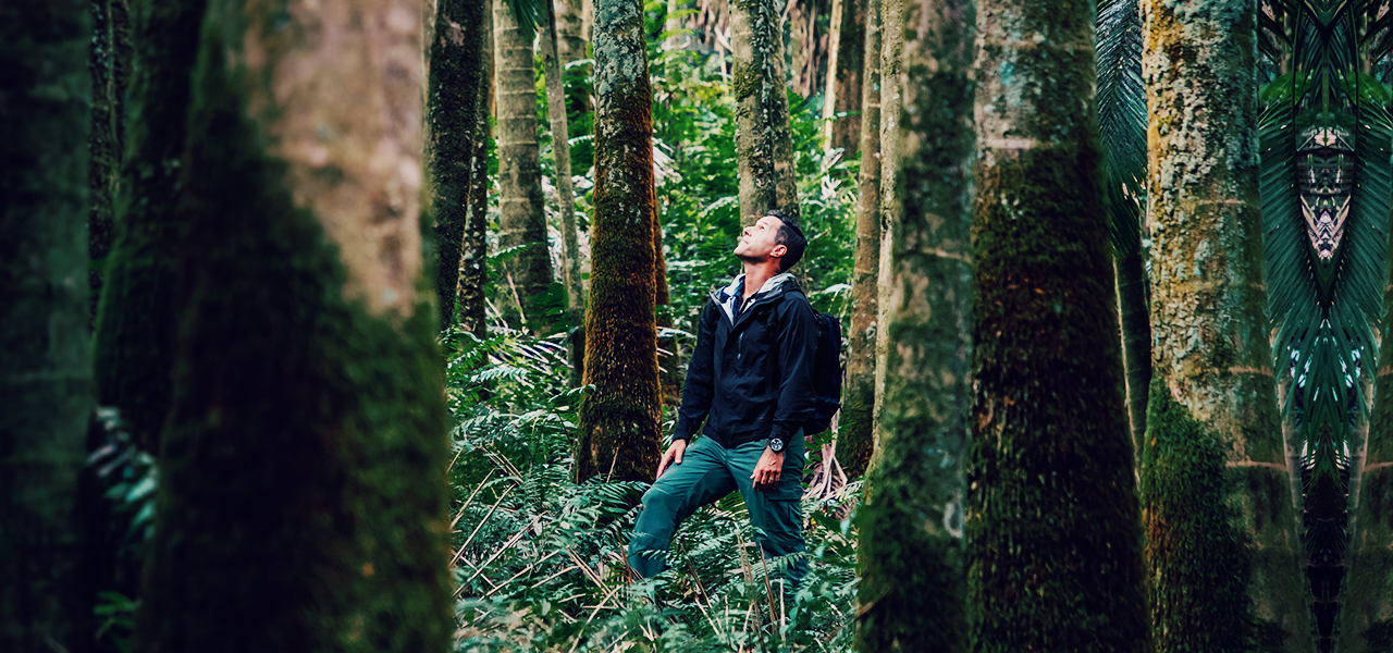
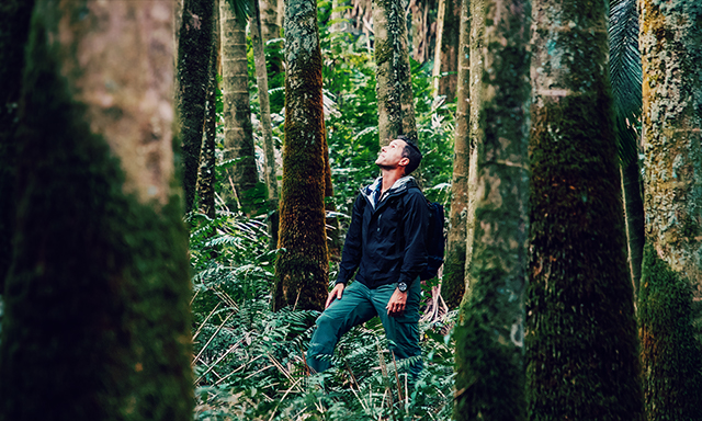
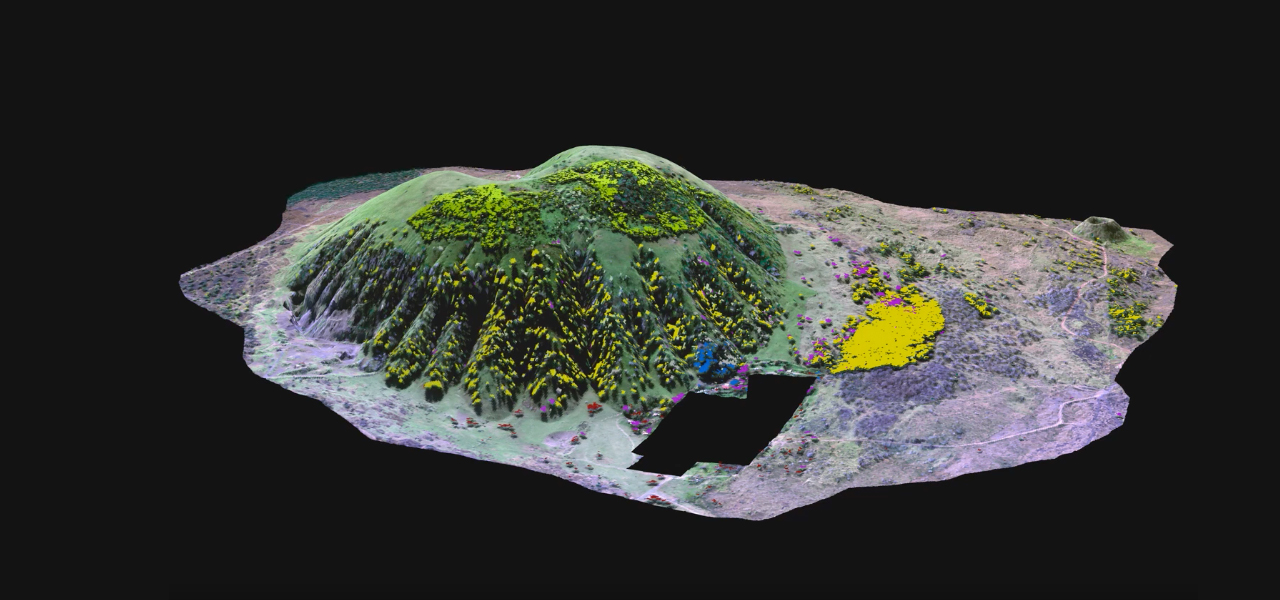
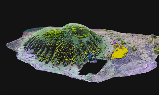
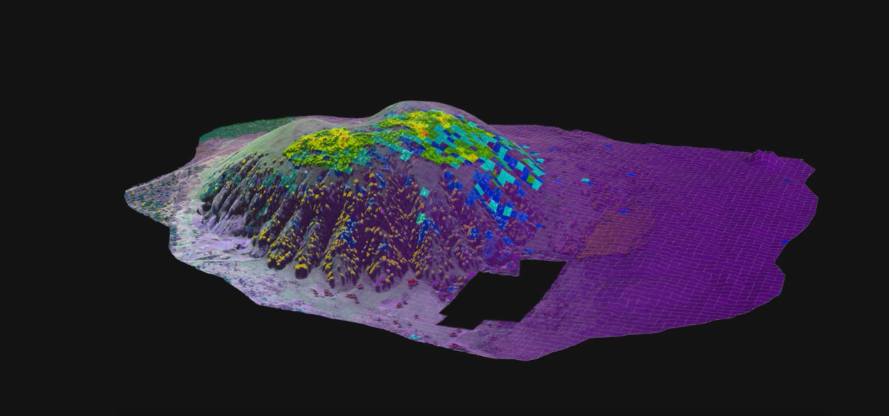
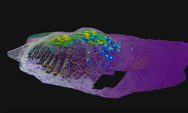
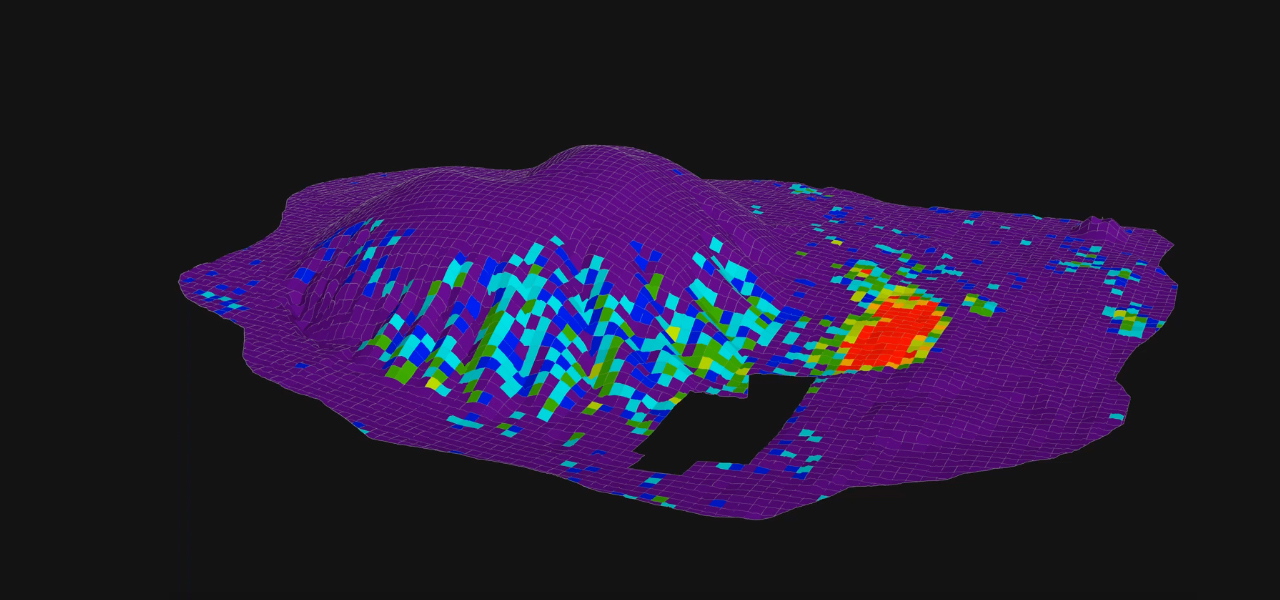
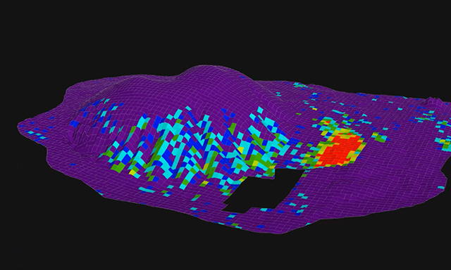
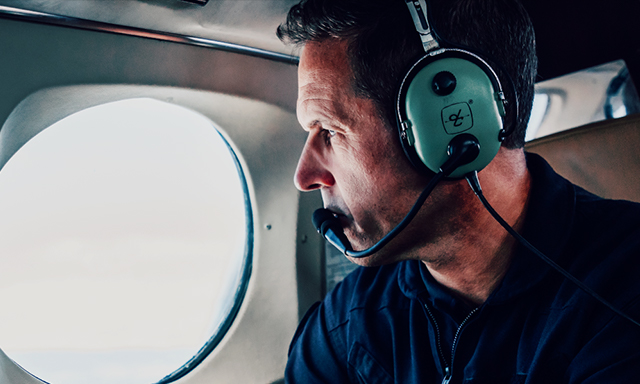
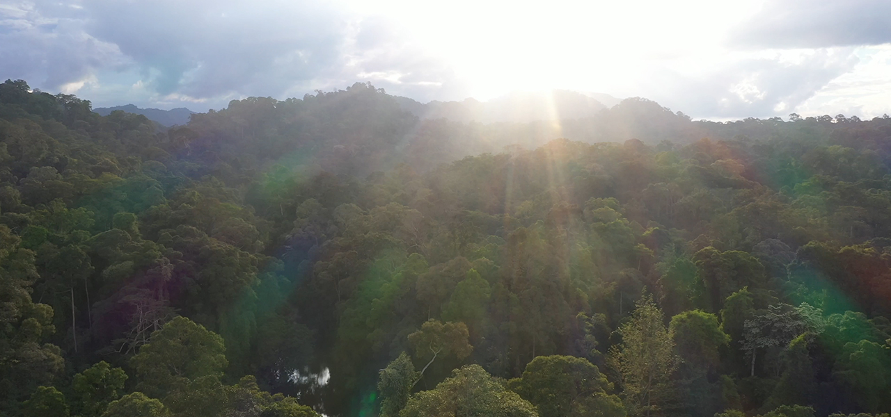
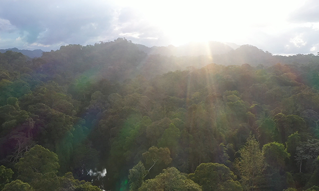
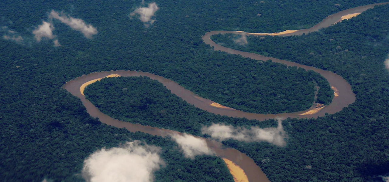
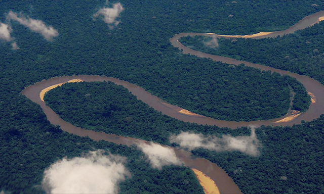
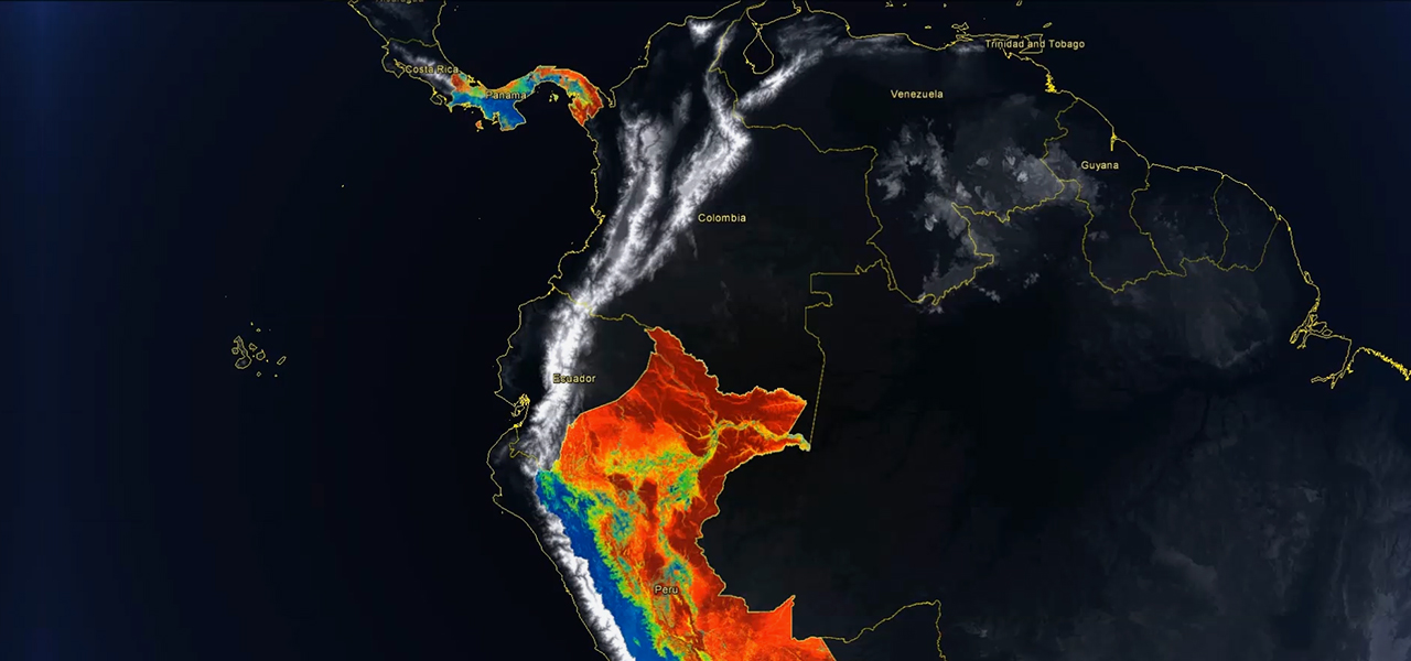
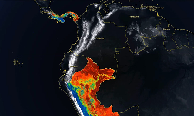
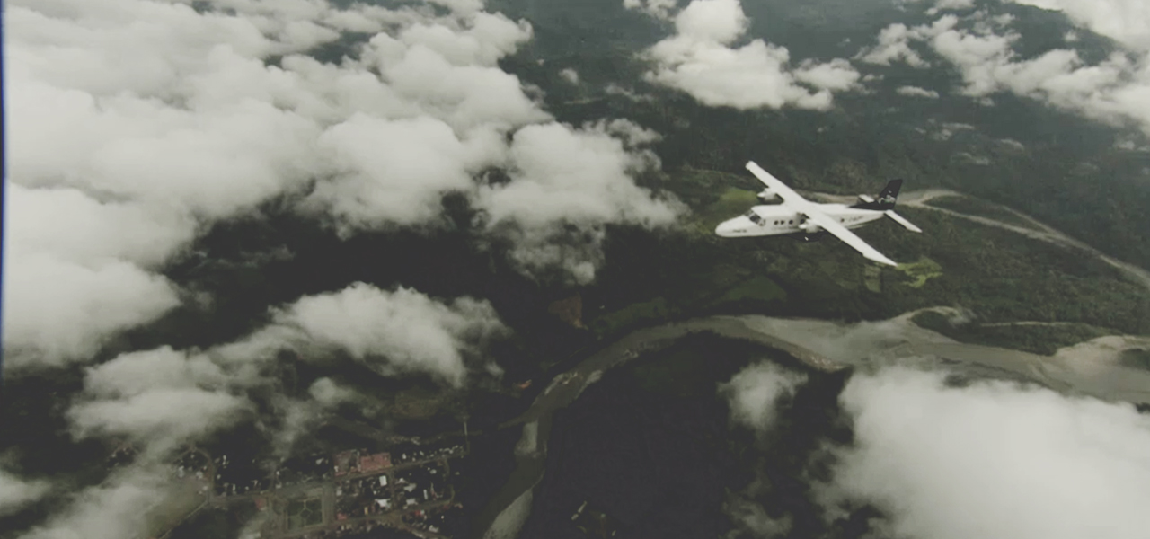
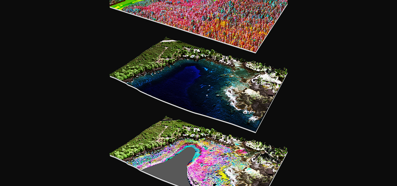
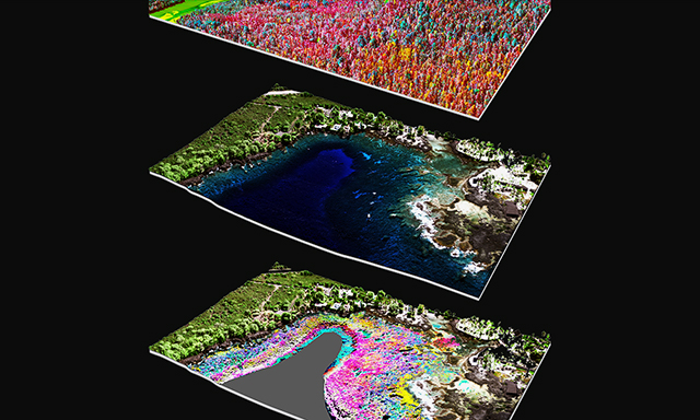
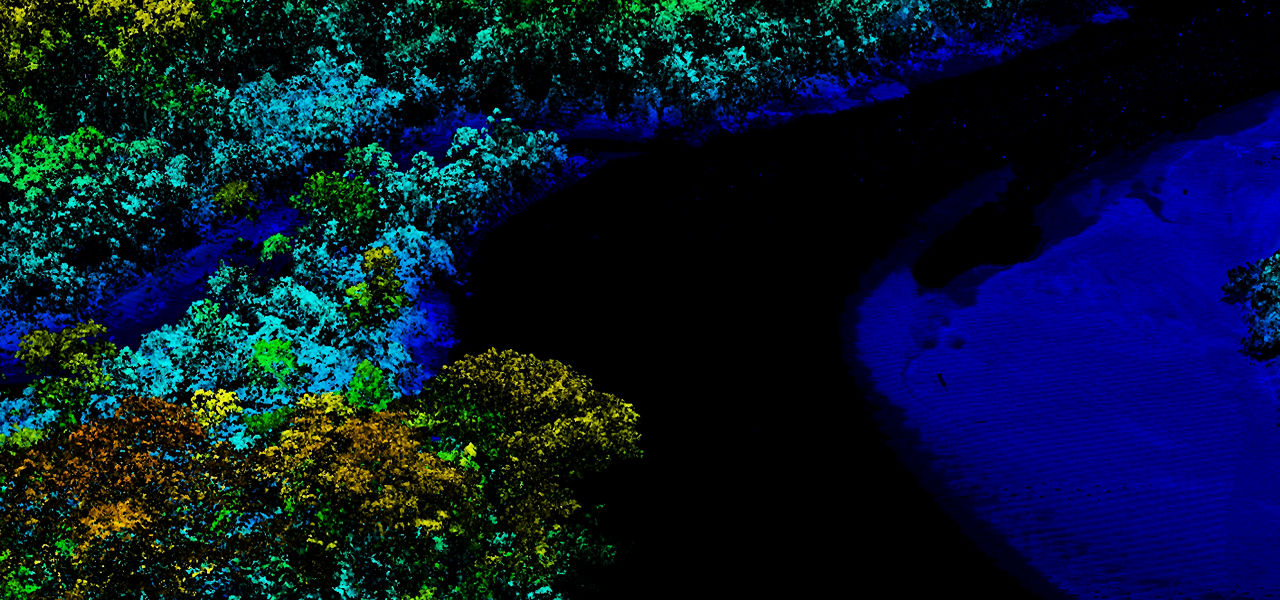
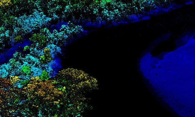
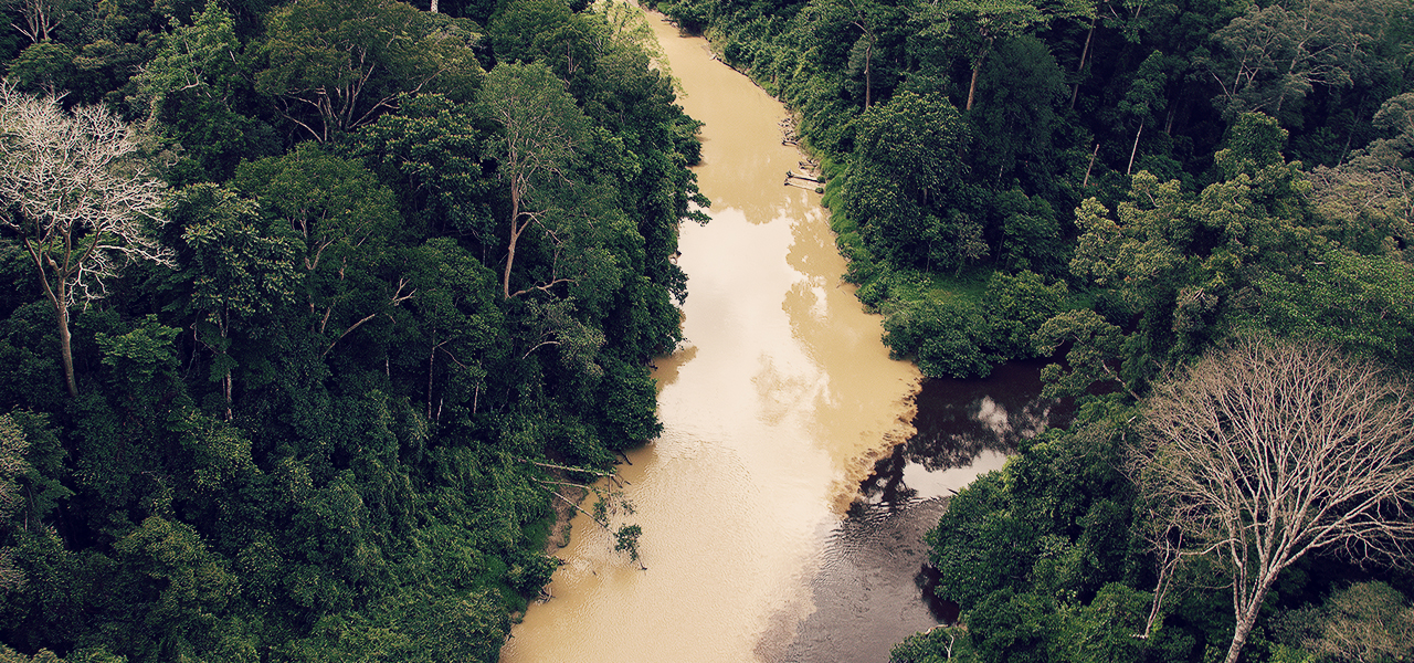
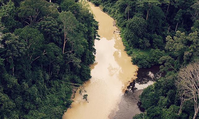
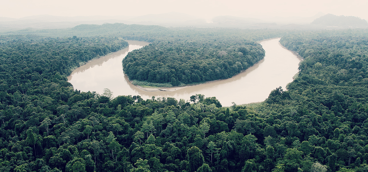
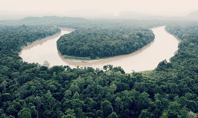
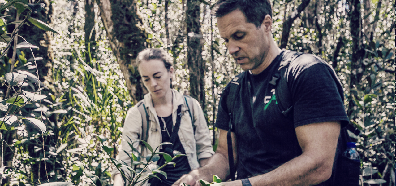
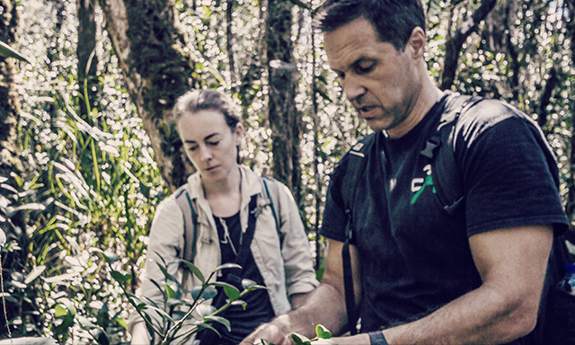
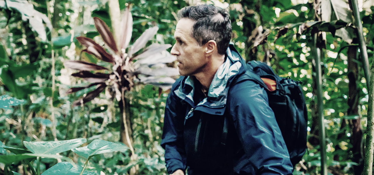
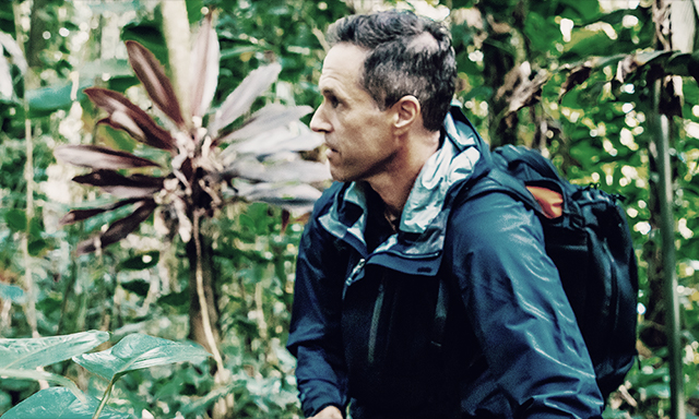
SAVING THE EARTH
FROM THE SKYECOLOGY TAKES TO THE AIR
AIRBORNE ECOLOGIST / GREG ASNER
READ STORY
